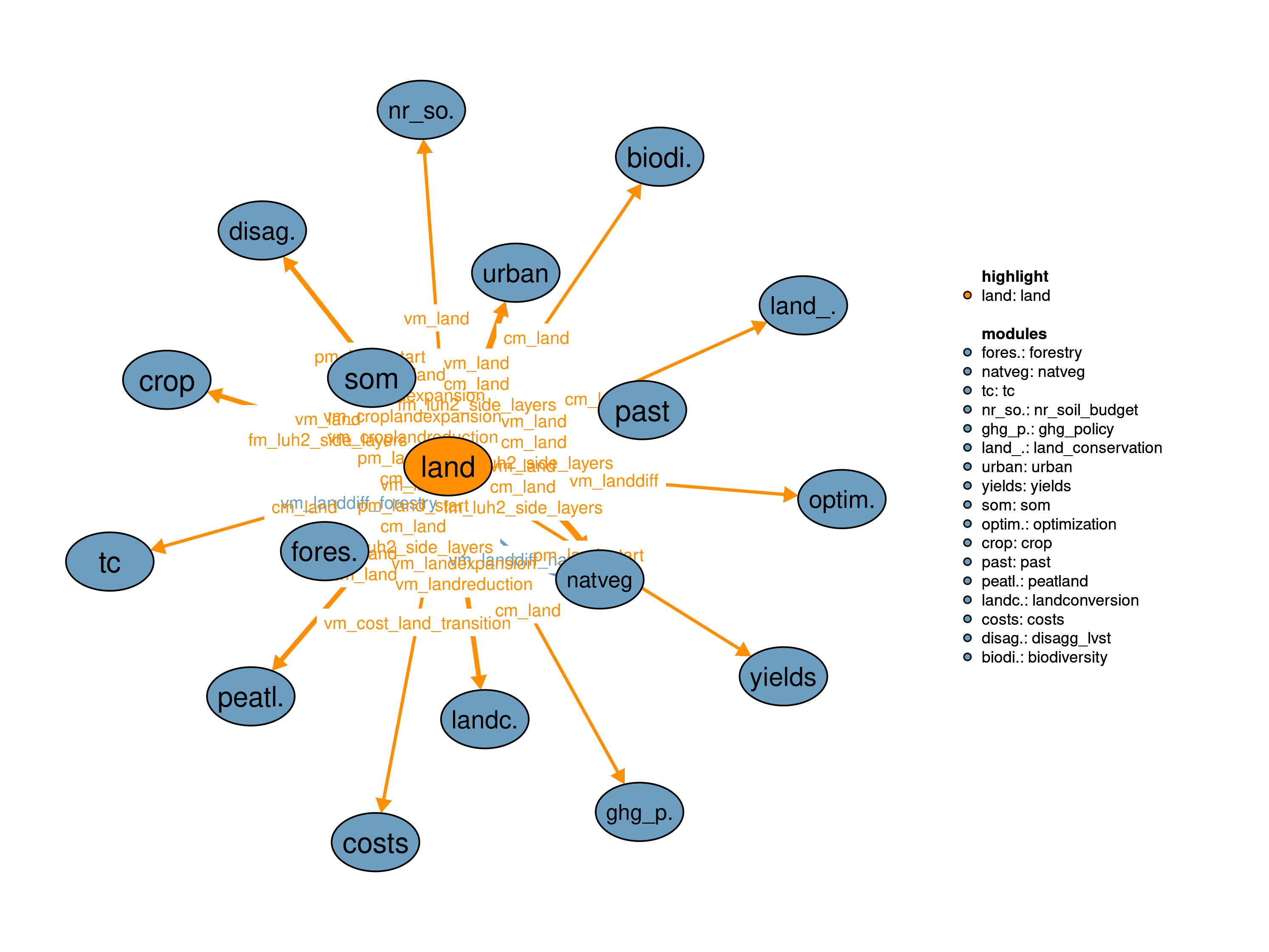
The land module coordinates and analyzes all land related activities by summing up all land types and calculating the gross changes in land use between two time steps of optimization given the recursive dynamic structure of MAgPIE model.
| Description | Unit | A | B | |
|---|---|---|---|---|
| vm_landdiff_forestry | Aggregated difference in forestry land compared to previous timestep | \(10^6 ha\) | x | x |
| vm_landdiff_natveg | Aggregated difference in natveg land compared to previous timestep | \(10^6 ha\) | x | x |
| Description | Unit | |
|---|---|---|
| fm_luh2_side_layers (j, luh2_side_layers10) |
luh2 side layers | \(grid cell share\) |
| pcm_land (j, land) |
Land area in previous time step including possible changes after optimization | \(10^6 ha\) |
| pm_land_start (j, land) |
Land initialization area | \(10^6 ha\) |
| vm_cost_land_transition (j) |
Costs for lu transitions | \(10^6 USD_{05MER}/yr\) |
| vm_croplandexpansion (j, land) |
Sources of cropland expansion | \(10^6 ha\) |
| vm_croplandreduction (j, land) |
Targets of cropland reduction | \(10^6 ha\) |
| vm_land (j, land) |
Land area of the different land types | \(10^6 ha\) |
| vm_landdiff | Aggregated difference in land between current and previous time step | \(10^6 ha\) |
| vm_landexpansion (j, land) |
Land expansion | \(10^6 ha\) |
| vm_landreduction (j, land) |
Land reduction | \(10^6 ha\) |
This realization defines the total amount of land to be constant over time.
\[\begin{multline*} \sum_{land} vm\_land(j2,land) = \sum_{land} pm\_land\_start(j2,land) \end{multline*}\]
The following two equations calculate the land expansion and land contraction.
\[\begin{multline*} vm\_landexpansion(j2,land) \geq vm\_land(j2,land)-pcm\_land(j2,land) \end{multline*}\]
\[\begin{multline*} vm\_landreduction(j2,land) \geq pcm\_land(j2,land)-vm\_land(j2,land) \end{multline*}\]
The gross changes in land are calculated based on land expansion, land contraction and land changes from within the modules 35_natveg and 32_forestry:
\[\begin{multline*} vm\_landdiff = \sum_{j2,land}\left( vm\_landexpansion(j2,land) + vm\_landreduction(j2,land)\right) + vm\_landdiff\_natveg + vm\_landdiff\_forestry \end{multline*}\]
Limitations This realization does not track sources and targets of land transitions. Interface variables like vm_croplandexpansion and vm_croplandreduction are therefore not meaningful.
The landmatrix_dec18 realization tracks land use transitions by directly counting sources and targets of conversions.
The following three equations describe the general structure of the land transition matrix. The first equation defines the total amount of land to be constant over time. The two balancing variables v10_balance_positive and v10_balance_negative are needed to avoid technical infeasibilities due to small differences in accuracy between variables and parameters in GAMS. The use of v10_balance_positive and v10_balance_negative is minimized by putting a high cost factor on these variables (q10_cost). In practice, v10_balance_positive and v10_balance_negativeshould deviate from zero only in exceptional cases.
\[\begin{multline*} \sum_{land\_from10,land\_to10} v10\_lu\_transitions(j2,land\_from10,land\_to10) + v10\_balance\_positive(j2) - v10\_balance\_negative(j2) = \sum_{land} pcm\_land(j2,land) \end{multline*}\]
\[\begin{multline*} \sum_{land\_from10} v10\_lu\_transitions(j2,land\_from10,land\_to10) = vm\_land(j2,land\_to10) \end{multline*}\]
\[\begin{multline*} \sum_{land\_to10} v10\_lu\_transitions(j2,land\_from10,land\_to10) = pcm\_land(j2,land\_from10) \end{multline*}\]
The following two equations calculate land expansion and land contraction based on the above land transition matrix.
\[\begin{multline*} vm\_landexpansion(j2,land\_to10) = \sum_{land\_from10\$\left(not sameas(land\_from10,land\_to10)\right)}\left( v10\_lu\_transitions(j2,land\_from10,land\_to10)\right) \end{multline*}\]
\[\begin{multline*} vm\_landreduction(j2,land\_from10) = \sum_{land\_to10\$\left(not sameas(land\_from10,land\_to10)\right)}\left( v10\_lu\_transitions(j2,land\_from10,land\_to10)\right) \end{multline*}\]
Additionally the following two equations calculate the sources and targets of all cropland related conversions.
\[\begin{multline*} vm\_croplandreduction(j2,land\_to10) = v10\_lu\_transitions(j2,"crop",land\_to10) \end{multline*}\]
\[\begin{multline*} vm\_croplandexpansion(j2,land\_from10) = v10\_lu\_transitions(j2,land\_from10,"crop") \end{multline*}\]
Small costs of 1 $ per ha on gross land-use change avoid unrealistic patterns in the land transition matrix
\[\begin{multline*} vm\_cost\_land\_transition(j2) = \sum_{land}\left( vm\_landexpansion(j2,land) + vm\_landreduction(j2,land)\right) \cdot 1 + \left(v10\_balance\_positive(j2) + v10\_balance\_negative(j2)\right) \cdot s10\_cost\_balance \end{multline*}\]
The gross changes in land are calculated based on land expansion, land contraction and land changes from within the modules 35_natveg and 32_forestry:
\[\begin{multline*} vm\_landdiff = \sum_{j2,land}\left( vm\_landexpansion(j2,land) + vm\_landreduction(j2,land)\right) + vm\_landdiff\_natveg + vm\_landdiff\_forestry \end{multline*}\]
Some of the land use transitions are restricted: No planted forest on natveg areas
v10_lu_transitions.fx(j,"primforest","forestry") = 0;Conversions within natveg are not allowed
v10_lu_transitions.fx(j,"primforest","other") = 0;
v10_lu_transitions.fx(j,"secdforest","other") = 0;
Forestry can only increase Primforest can only decrease
v10_lu_transitions.fx(j,land_from10,"primforest") = 0;
v10_lu_transitions.up(j,"primforest","primforest") = Inf;
Secdforest can only decrease (during optimization)
Limitations There are currently no known limitations of this realization.
| Description | Unit | A | B | |
|---|---|---|---|---|
| f10_land (t_ini10, j, land) |
Different land type areas | \(10^6 ha\) | x | x |
| q10_cost (j) |
Costs for lu transitions | \(10^6 USD_{05MER}/yr\) | x | |
| q10_croplandexpansion (j, land_from10) |
Cropland expansion constraint | \(10^6 ha\) | x | |
| q10_croplandreduction (j, land_to10) |
Cropland reduction constraint | \(10^6 ha\) | x | |
| q10_land (j) |
Land conversion constraint | \(10^6 ha\) | x | |
| q10_landdiff | Land difference constraint | \(10^6 ha\) | x | x |
| q10_landexpansion (j, land) |
Land expansion constraint | \(10^6 ha\) | x | x |
| q10_landreduction (j, land) |
Land reduction constraint | \(10^6 ha\) | x | x |
| q10_transition_from (j, land_from10) |
Land transition constraint from | \(10^6 ha\) | x | |
| q10_transition_matrix (j) |
Land transition constraint cell area | \(10^6 ha\) | x | |
| q10_transition_to (j, land_to10) |
Land transition constraint to | \(10^6 ha\) | x | |
| s10_cost_balance | Artificial cost for balance variable | \(USD_{05MER}/ha\) | x | |
| v10_balance_negative (j) |
Balance variable for land transitions | \(10^6 ha\) | x | |
| v10_balance_positive (j) |
Balance variable for land transitions | \(10^6 ha\) | x | |
| v10_lu_transitions (j, land_from10, land_to10) |
Land transitions between time steps | \(10^6 ha\) | x |
| description | |
|---|---|
| cell(i, j) | number of LPJ cells per region i |
| clcl | climate classification types |
| clcl58 | simple climate classes |
| ef58(man58) | Peatland emissions factors |
| emis_source | Emission sources |
| emis58 | Wetland emission types |
| emisSub58(emis58) | Wetland emission types |
| i | all economic regions |
| j | number of LPJ cells |
| j2(j) | Spatial Clusters (dynamic set) |
| land | Land pools |
| land_from10(land) | Land pools |
| land_to10(land) | Land pools |
| land58(land) | Managed land types |
| luh2_side_layers10 | side layers from LUH2 |
| man58 | State of managed peatland |
| poll58(pollutants) | Wetland emissions that can be taxed |
| pollutants(pollutants_all) | subset of pollutants_all that can be taxed |
| potnatveg(luh2_side_layers10) | potentially forested biomes |
| stat58 | Peatland status |
| t_all(t_ext) | 5-year time periods |
| t_ini10 | Time periods with land initialization data |
| t(t_all) | Simulated time periods |
| type | GAMS variable attribute used for the output |
Jan Philipp Dietrich, Florian Humpenoeder, Kristine Karstens
11_costs, 13_tc, 14_yields, 22_land_conservation, 30_crop, 31_past, 32_forestry, 34_urban, 35_natveg, 39_landconversion, 44_biodiversity, 50_nr_soil_budget, 56_ghg_policy, 58_peatland, 59_som, 71_disagg_lvst, 80_optimization