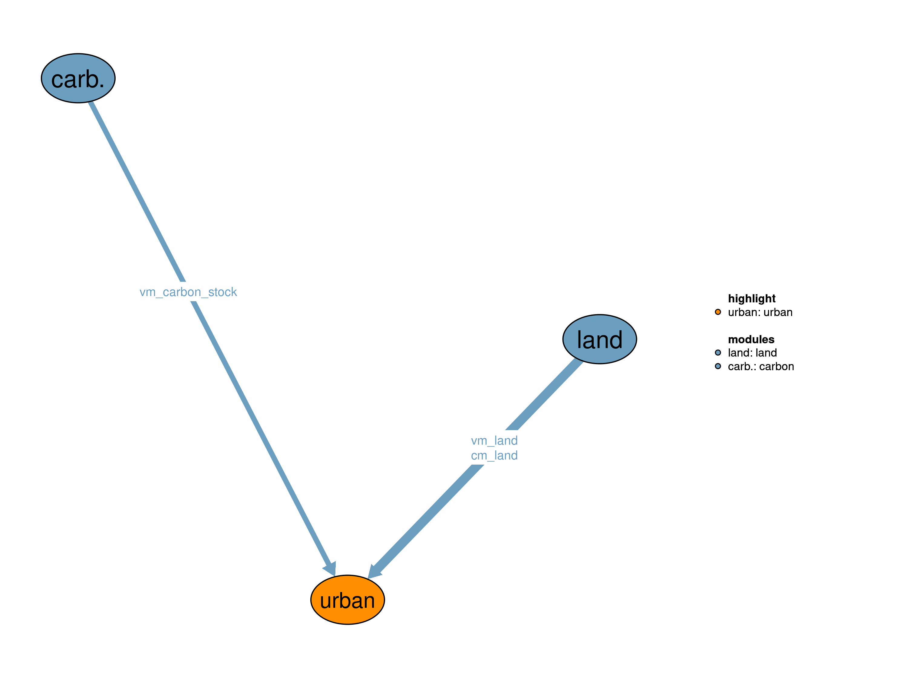
The urban land module is one of the land modules in MAgPIE (see also the other land modules: 30_crop, 31_past, 32_forestry, 35_natveg). It describes urban settlement areas and estimates their corresponding carbon content.

| Description | Unit | A | |
|---|---|---|---|
| pcm_land (j, land) |
Land area in previous time step | \(10^6 ha\) | x |
| vm_carbon_stock (j, land, c_pools) |
Carbon stock in vegetation soil and litter for different land types | \(10^6 tC\) | x |
| vm_land (j, land) |
Land area of the different land types | \(10^6 ha\) | x |
In the static realization, urban land remains static over time with the spatial distribution of 1995 from the LUH2 data set (Hurtt, n.d.). Carbon stocks are fixed to zero because information on urban land carbon density is missing.
Limitations Urban land is static over time and corresponding carbon stocks are assumed zero
| description | |
|---|---|
| c_pools | Carbon pools |
| j | Spatial clusters |
| land | Land pools |
Jan Philipp Dietrich, Florian Humpenöder
Hurtt, L. Chini, G. n.d. “Harmonization of Global Land-Use Change and Management for the Period 850-2100.” Geoscientific Model Development.