The cropland module simulates the dynamics of cropland area and agricultural crop production and calculates corresponding carbon contents of the existing cropland.
| Description | Unit | A | |
|---|---|---|---|
| fm_carbon_density (t_all, j, land, c_pools) |
LPJmL carbon density for land and carbon pools | \(tC/ha\) | x |
| vm_carbon_stock (j, land, c_pools) |
Carbon stock in vegetation soil and litter for different land types | \(10^6 tC\) | x |
| vm_land (j, land) |
Land area of the different land types | \(10^6 ha\) | x |
| vm_prod (j, k) |
Production in each cell | \(10^6 tDM/yr\) | x |
| vm_yld (j, kve, w) |
Yields (variable because of technical change) | \(tDM/ha/yr\) | x |
| Description | Unit | |
|---|---|---|
| vm_area (j, kcr, w) |
Agricultural production area | \(10^6 ha\) |
The endo_jun13 realization calculates the crop specific agricultural land use endogenously based on yield data coming from the module 14_yields and the rotational as well as suitability constrains stated in the input data of the module.
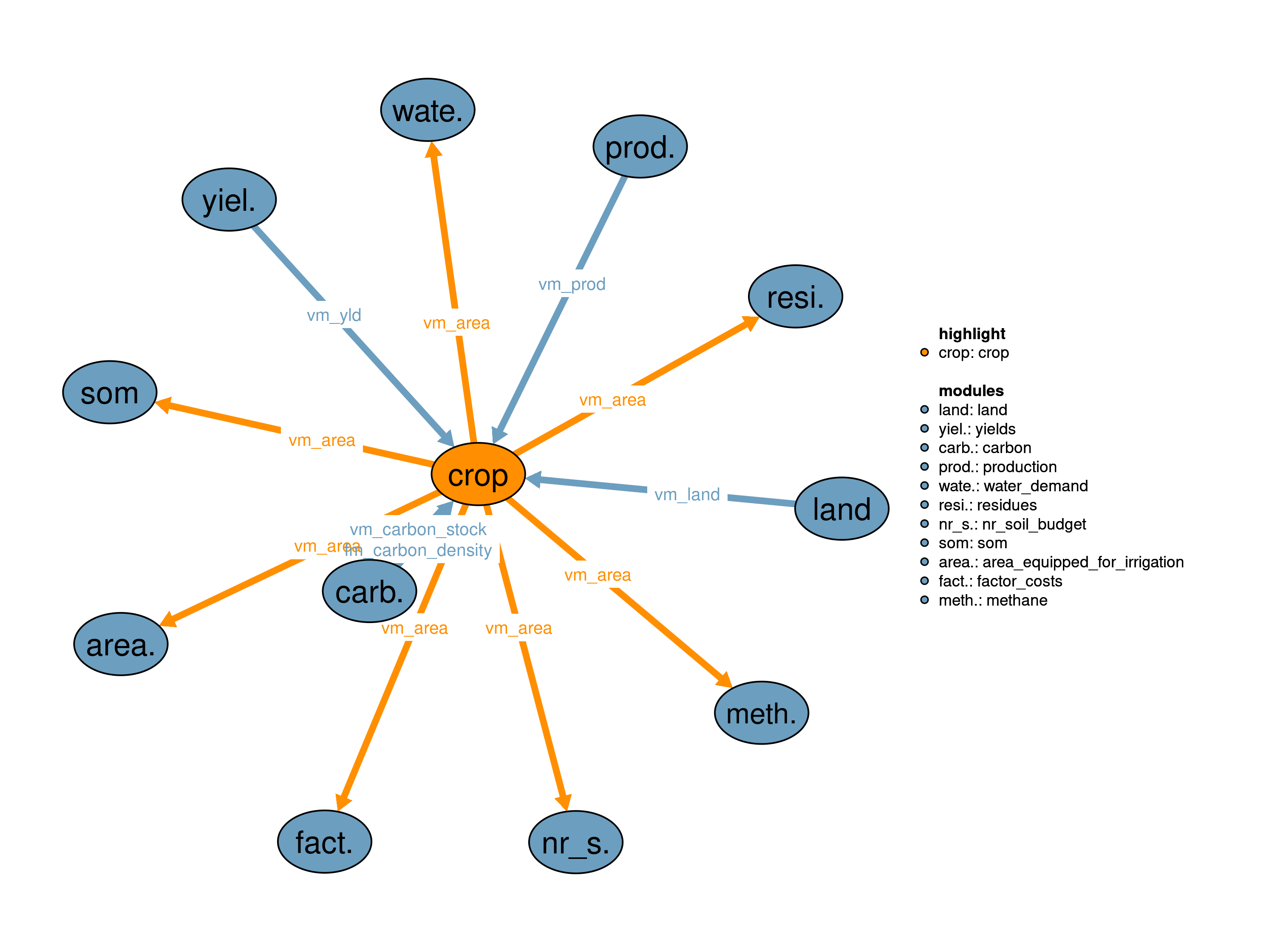
Cropland areas are linked to the crop specific production and the carbon content of the different land carbon pools. The crop specific land use areas are also used in 18_residues, 38_factor_costs, 41_area_equipped_for_irrigation, 42_water_demand, 50_nr_soil_budget, 53_methane and 59_som.
The total land requirements for cropland are calculated as the sum of crop and water supply type specific land requirements:
\[\begin{multline*} \sum_{kcr,w} vm\_area(j2,kcr,w) = vm\_land(j2,"crop") \end{multline*}\]
We assume that crop production can only take place on suitable cropland area; we use a suitability index (SI) map from Ramankutty et al. (2002) to exclude areas from cropland production that have low suitability, e.g. due to strong slopes. The cultivated area therefore has to be smaller than the “si0” cropland area:
\[\begin{multline*} vm\_land(j2,"crop") \leq f30\_land\_si(j2,"si0") \end{multline*}\]
As additional constraints minimum and maximum rotational constraints limit the placing of crops. On the one hand, these rotational constraints reflect crop rotations limiting the share a specific crop can cover of the total area of a cluster:
\[\begin{multline*} \sum_{crp\_kcr30(crpmax30,kcr)} vm\_area(j2,kcr,w) \leq \sum_{kcr} vm\_area(j2,kcr,w) \cdot f30\_rotation\_max\_shr(crpmax30) \end{multline*}\]
On the other hand, it reflects boundary conditions such as minimum self sufficiency constraints:
\[\begin{multline*} \sum_{crp\_kcr30(crpmin30,kcr)} vm\_area(j2,kcr,w) \geq \sum_{kcr} vm\_area(j2,kcr,w) \cdot f30\_rotation\_min\_shr(crpmin30) \end{multline*}\]
Agricultural production is calculated by multiplying the area under production with corresponding yields. Production from rainfed and irrigated areas is summed up:
\[\begin{multline*} vm\_prod(j2,kcr) = \sum_{w}\left( vm\_area(j2,kcr,w) \cdot vm\_yld(j2,kcr,w)\right) \end{multline*}\]
Due to the high uncertainty in 2nd generation bioenergy production, irrigated production of bioenergy is deactivated (see presolve statements of crop realization). The carbon content of the different carbon pools are calculated as a total for all cropland :
\[\begin{multline*} vm\_carbon\_stock(j2,"crop",c\_pools) = vm\_land(j2,"crop") \cdot \sum_{ct}fm\_carbon\_density(ct,j2,"crop",c\_pools) \end{multline*}\]
Limitations There are currently no known limitations of this realization.
| Description | Unit | A | |
|---|---|---|---|
| f30_land_si (j, si) |
Land area suitable and non-suitable as cropland | \(10^6 ha\) | x |
| f30_rotation_max_shr (crp30) |
Maximum allowed area shares for each crop type | \(1\) | x |
| f30_rotation_min_shr (crp30) |
Minimum allowed area shares for each crop type | \(1\) | x |
| q30_carbon (j, c_pools) |
Cropland carbon content calculation | \(10^6 tC\) | x |
| q30_cropland (j) |
Total cropland calculation | \(10^6 ha\) | x |
| q30_prod (j, kcr) |
Production of cropped products | \(10^6 tDM\) | x |
| q30_rotation_max (j, crp30, w) |
Local maximum rotational constraints | \(10^6 ha\) | x |
| q30_rotation_min (j, crp30, w) |
Local minimum rotational constraints | \(10^6 ha\) | x |
| q30_suitability (j) |
Suitability constraint | \(10^6 ha\) | x |
| description | |
|---|---|
| c_pools | Carbon pools |
| crp_kcr30(crp30, kcr) | Mapping of crop types into crop rotation types |
| crp30 | Crop rotation types |
| crpmax30(crp30) | Maximum crop rotation |
| crpmin30(crp30) | Minimum crop rotation |
| ct(t) | Current time period |
| j | Spatial clusters |
| j2(j) | Spatial Clusters (dynamic set) |
| k(kall) | Primary products |
| kcr(kve) | Cropping activities |
| kve(k) | Land-use activities |
| land | Land pools |
| si | Suitability classes |
| t_all | 5-year time periods |
| t(t_all) | Simulated time periods |
| type | GAMS variable attribute used for the output |
| w | Water supply type |
Jan Philipp Dietrich, Florian Humpenöder, Benjamin Bodirsky
10_land, 14_yields, 17_production, 18_residues, 38_factor_costs, 41_area_equipped_for_irrigation, 42_water_demand, 50_nr_soil_budget, 52_carbon, 53_methane, 59_som
Ramankutty, Navin, Jonathan A. Foley, John Norman, and Kevin McSweeney. 2002. “The Global Distribution of Cultivable Lands: Current Patterns and Sensitivity to Possible Climate Change.” Global Ecology and Biogeography 11 (5): 377–92. http://onlinelibrary.wiley.com/doi/10.1046/j.1466-822x.2002.00294.x/full.