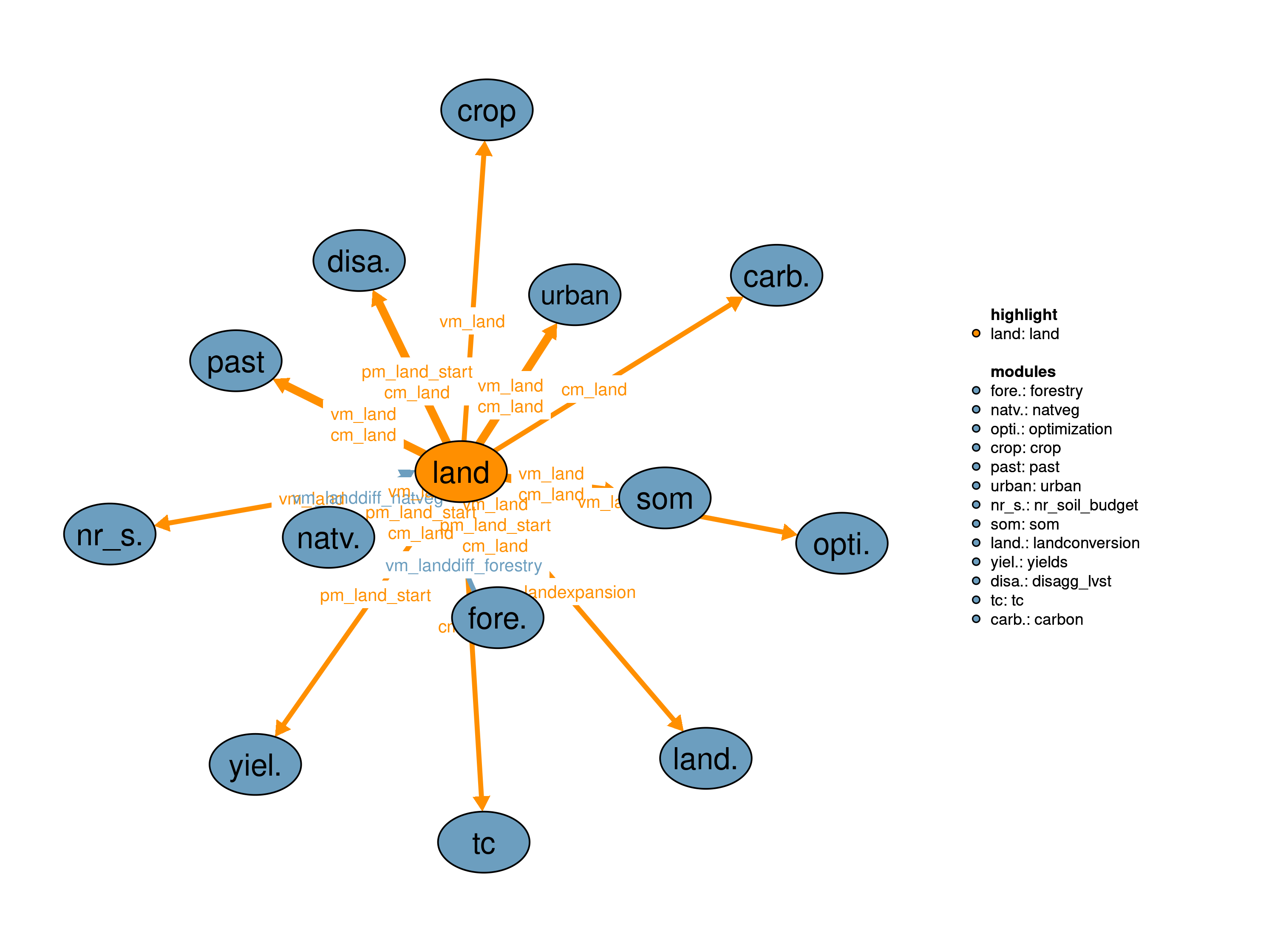
The land module coordinates and analyzes all land related activities by summing up all land types and calculating the gross changes in land use between two time steps of optimization given the recursive dynamic structure of MAgPIE model.
| Description | Unit | A | |
|---|---|---|---|
| vm_landdiff_forestry | Aggregated difference in forestry land compared to previous timestep | \(10^6 ha\) | x |
| vm_landdiff_natveg | Aggregated difference in natveg land compared to previous timestep | \(10^6 ha\) | x |
| Description | Unit | |
|---|---|---|
| pcm_land (j, land) |
Land area in previous time step | \(10^6 ha\) |
| pm_land_start (j, land) |
Land initialization area | \(10^6 ha\) |
| vm_land (j, land) |
Land area of the different land types | \(10^6 ha\) |
| vm_landdiff | Aggregated difference in land between current and previous time step | \(10^6 ha\) |
| vm_landexpansion (j, land) |
Land expansion | \(10^6 ha\) |
This realization defines the total amount of land to be constant over time.
\[\begin{multline*} \sum_{land} vm\_land(j2,land) = \sum_{land} pm\_land\_start(j2,land) \end{multline*}\]
The following two equations calculate the land expansion and land contraction.
\[\begin{multline*} vm\_landexpansion(j2,land) \geq vm\_land(j2,land)-pcm\_land(j2,land) \end{multline*}\]
\[\begin{multline*} v10\_landreduction(j2,land) \geq pcm\_land(j2,land)-vm\_land(j2,land) \end{multline*}\]
The gross changes in land are calculated based on land expansion, land contraction and land changes from within the modules 35_natveg and 32_forestry:
\[\begin{multline*} vm\_landdiff = \sum_{j2,land}\left( vm\_landexpansion(j2,land) + v10\_landreduction(j2,land)\right) + vm\_landdiff\_natveg + vm\_landdiff\_forestry \end{multline*}\]
Limitations There are currently no known limitations of this realization.
| Description | Unit | A | |
|---|---|---|---|
| f10_land (t_ini10, j, land) |
Different land type areas | \(10^6 ha\) | x |
| q10_land (j) |
Land conversion constraint | \(10^6 ha\) | x |
| q10_landdiff | Land difference constraint | \(10^6 ha\) | x |
| q10_landexpansion (j, land) |
Land expansion constraint | \(10^6 ha\) | x |
| q10_landreduction (j, land) |
Land reduction constraint | \(10^6 ha\) | x |
| v10_landreduction (j, land) |
Land reduction | \(10^6 ha\) | x |
| description | |
|---|---|
| j | Spatial clusters |
| j2(j) | Spatial Clusters (dynamic set) |
| land | Land pools |
| t_ini10 | Time periods with land initialization data |
| t(t_all) | Simulated time periods |
| type | GAMS variable attribute used for the output |
Jan Philipp Dietrich
13_tc, 14_yields, 30_crop, 31_past, 32_forestry, 34_urban, 35_natveg, 39_landconversion, 50_nr_soil_budget, 52_carbon, 59_som, 71_disagg_lvst, 80_optimization